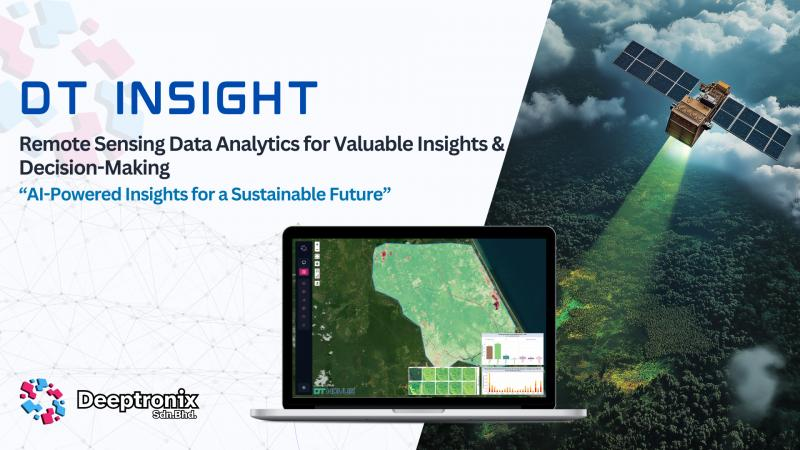
DT Insight Platform Overview
Purpose
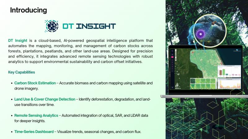
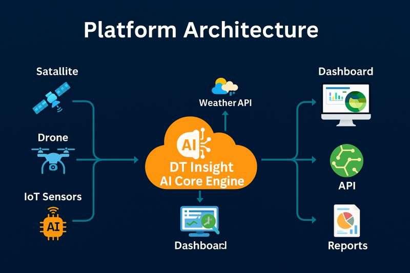
DT Insight is a cloud-based remote sensing and geospatial intelligence platform developed by Deeptronix to empower organizations with data-driven insights for land-based industries. Its core purpose is to simplify the analysis of satellite, drone, and environmental data—transforming raw imagery into actionable intelligence for smarter planning, monitoring, and decision-making.
Key Features
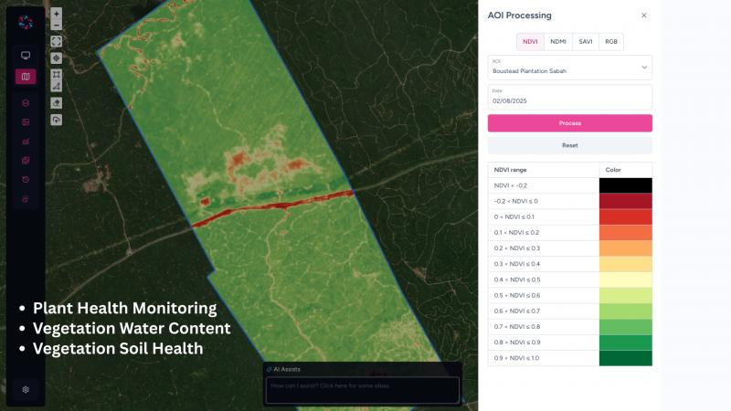
1. Automated Remote Sensing Analysis: Weekly updates of vegetation indices (e.g., NDVI, NDWI) and anomaly detection using satellite data.
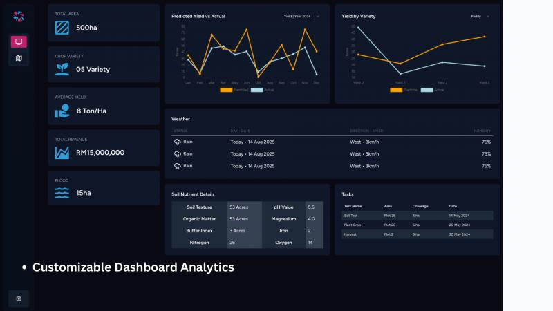
2. Geospatial Dashboard: Interactive maps with customizable layers, charts, and time-series analytics.
3. Soil Profiling & Crop Health Monitoring: Integrated modules for soil condition, crop health, and early detection of threats such as disease or water stress.
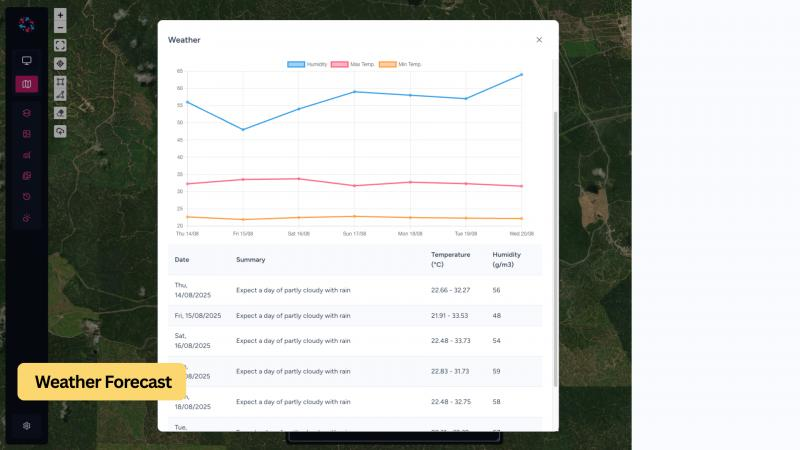
4. API Integration: Connects seamlessly with third-party data providers (e.g., Planet, Airbus), weather APIs, and internal enterprise systems.
5. Multi-user Access & Reporting: Role-based user management, automated reporting, and data export capabilities.
Benefits
1. Faster Decision-Making: Timely insights reduce dependency on manual surveys and shorten response time from weeks to days.
2. Cost Optimization: Enables precise resource allocation—fertilizer, labor, irrigation—leading to measurable cost savings.
3. Improved Productivity: Early warning of stress or disease supports yield protection and sustainability.
4. Scalable & Secure: Hosted on AWS, supporting data security, scalability, and cross-region access.
Target Audience
DT Insight is designed for medium to large enterprises and government agencies in agriculture, plantation, and forestry sectors. Key users include estate managers, agronomists, sustainability officers, and policymakers—particularly those managing 500 to over 100,000 hectares of land. The platform is ideal for those seeking to digitize land monitoring, boost operational efficiency, and meet ESG reporting standards.