








geoROAD.ai (formerly ENViS) is an AI road maintenance platform for highway authorities, road concessionaires and municipalities. It takes a road defect from first detection through to a verified repair, and keeps the whole history in one record.
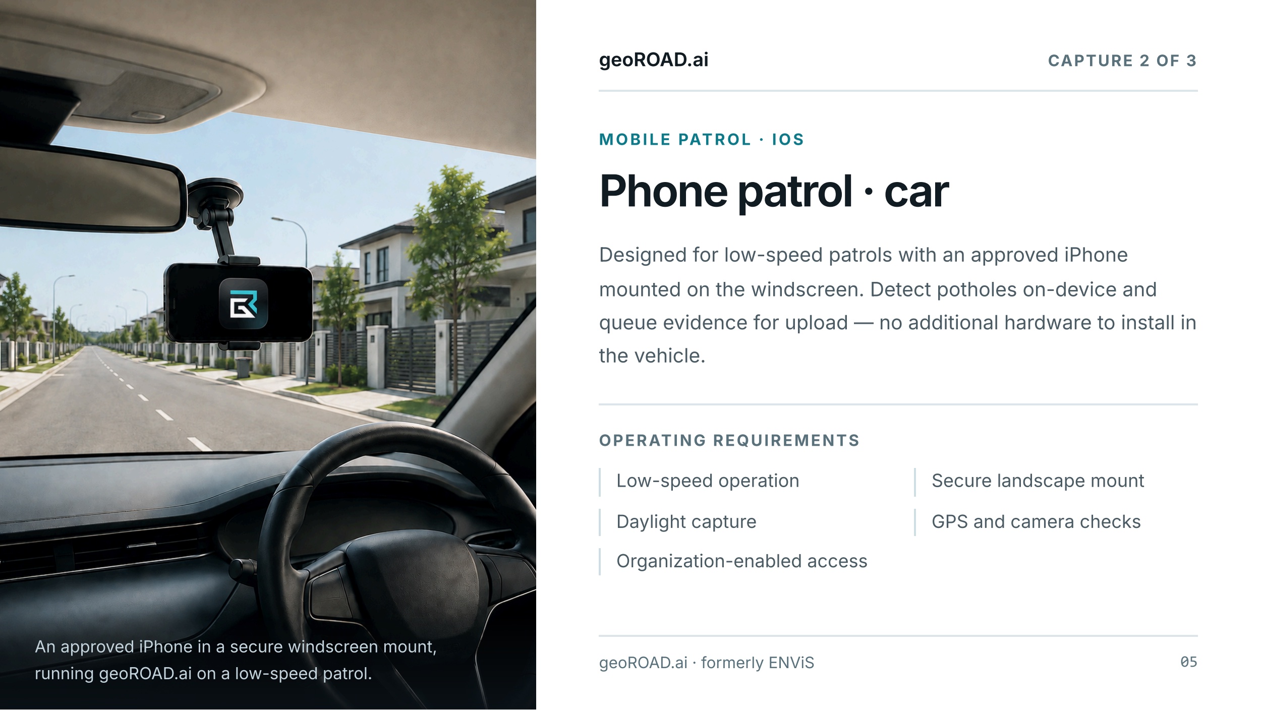
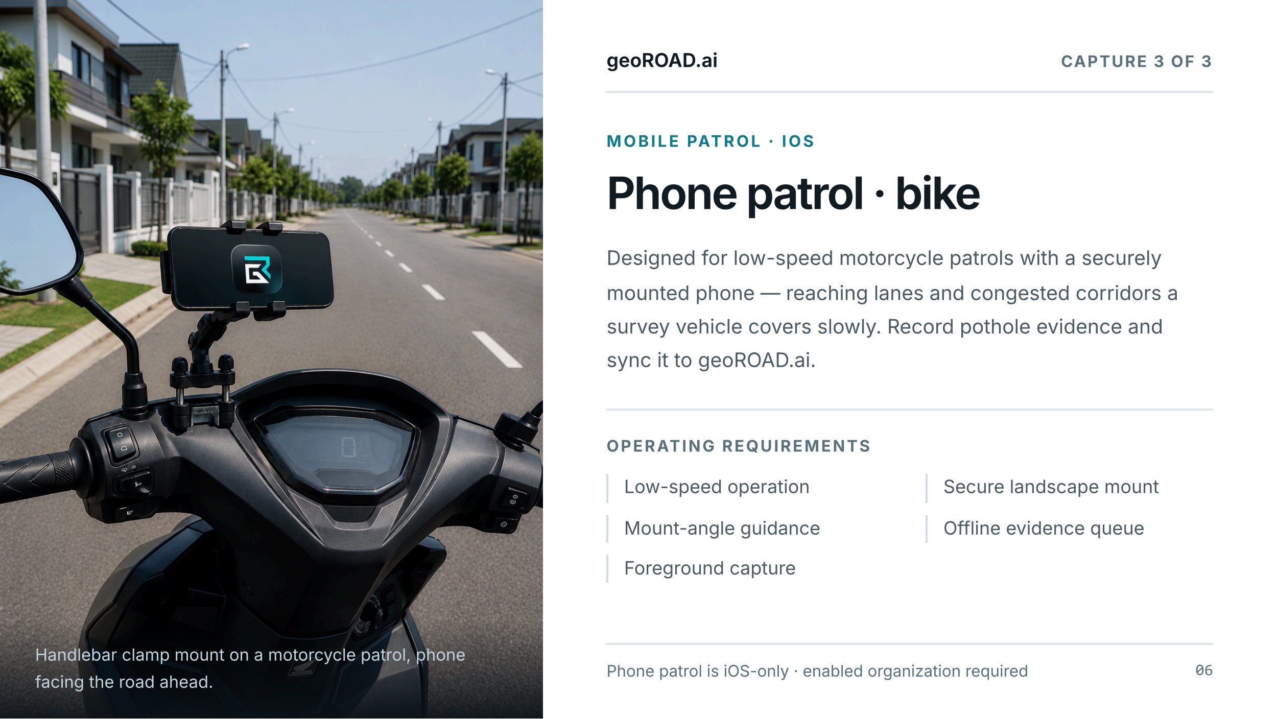
Findings come from vehicle-mounted edge AI units, phone patrols by car or motorcycle, and manual field inspections. Detection runs on the device, so patrols keep working in remote areas and through gaps in connectivity. Findings sync to the cloud when a connection is available.
Findings can then pass a second AI validation and get dimension estimates from imagery. From there they become work orders assigned to contractors and tracked against SLAs. Once a repair is done, PotholeScan LiDAR measurements record the pothole as found and the patch as built. That gives road owners measured proof of every repair, not a description of it.
Developed in Malaysia by OFO Tech Sdn Bhd.